🌍 About us
About GeoWild — Geospatial Experts with 15+ Years Experience | India
GeoWild is a team of 20 geospatial experts delivering precision mapping, LiDAR, drone surveys, and GIS analysis across India and globally. Trusted outsourcing partner for international mapping firms.
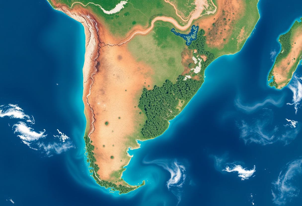
Comprehensive geospatial solutions for every industry
Our services are designed to support diverse industries with advanced mapping, surveying, and geospatial analysis. From infrastructure and agriculture to environmental monitoring and disaster management, we deliver tailored solutions to help you make informed decisions and achieve operational excellence.
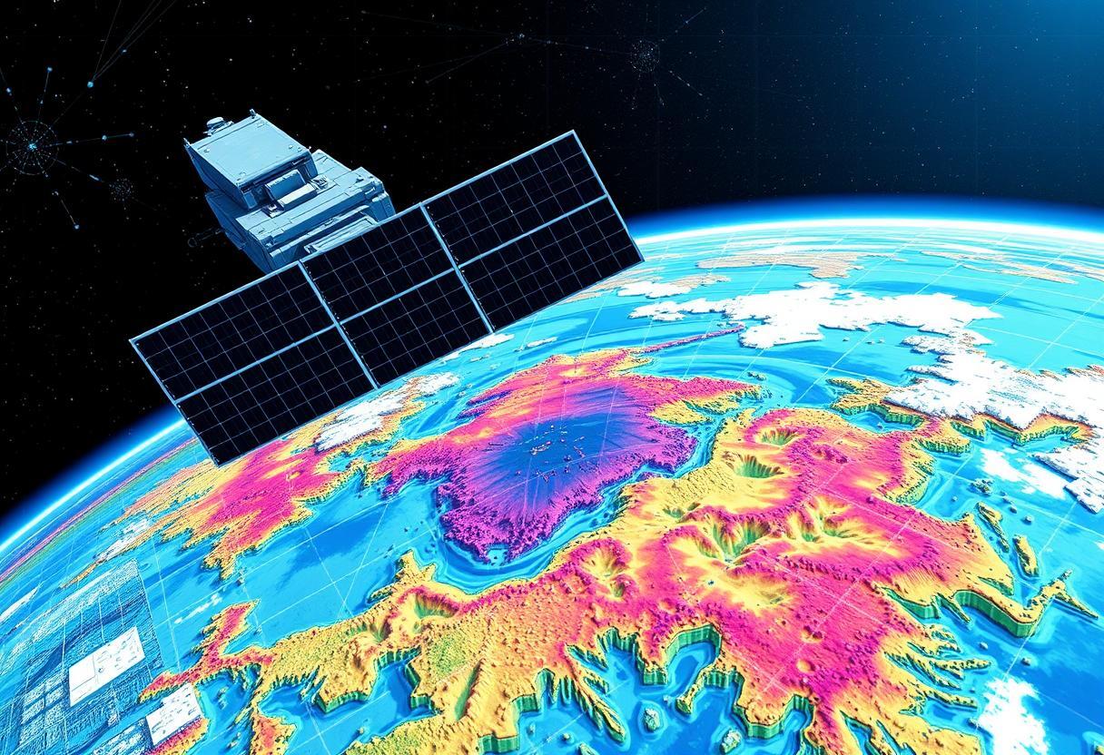
High-resolution drone surveys for accurate terrain and infrastructure data.
Detailed 3D models to support planning, design, and analysis.
Real-time monitoring and assessment of natural disasters for faster response.
Comprehensive insights for land use, vegetation, and resource planning.
Got a project or partnership in mind?