Our Experience
Over 15 years of expert geospatial and mapping solutions
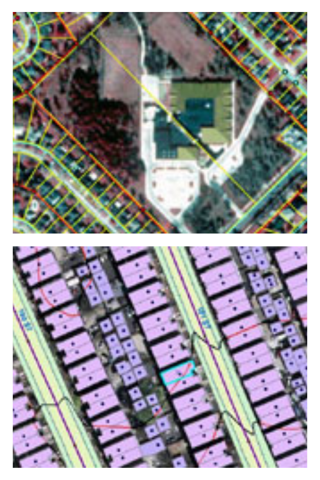
At GeoWild, we deliver precise and reliable geospatial services, including ArcGIS analysis, photogrammetry, LiDAR mapping, DTM/DSM generation, and data visualization. Our tailored solutions help you make better decisions through accurate spatial analysis and advanced technology.
High-precision photogrammetry services for creating accurate 3D models and orthophotos from aerial and drone imagery to support mapping and engineering projects.
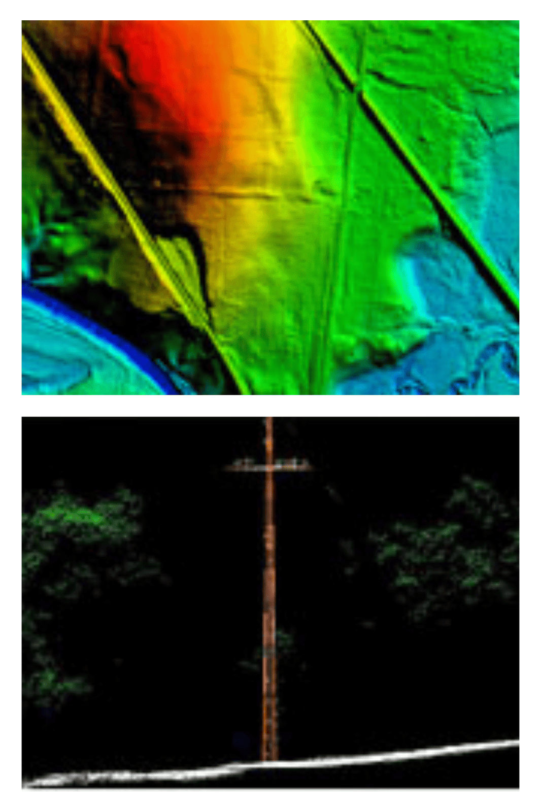
Advanced LiDAR technology for creating precise 3D models and terrain mapping to support engineering and infrastructure projects.
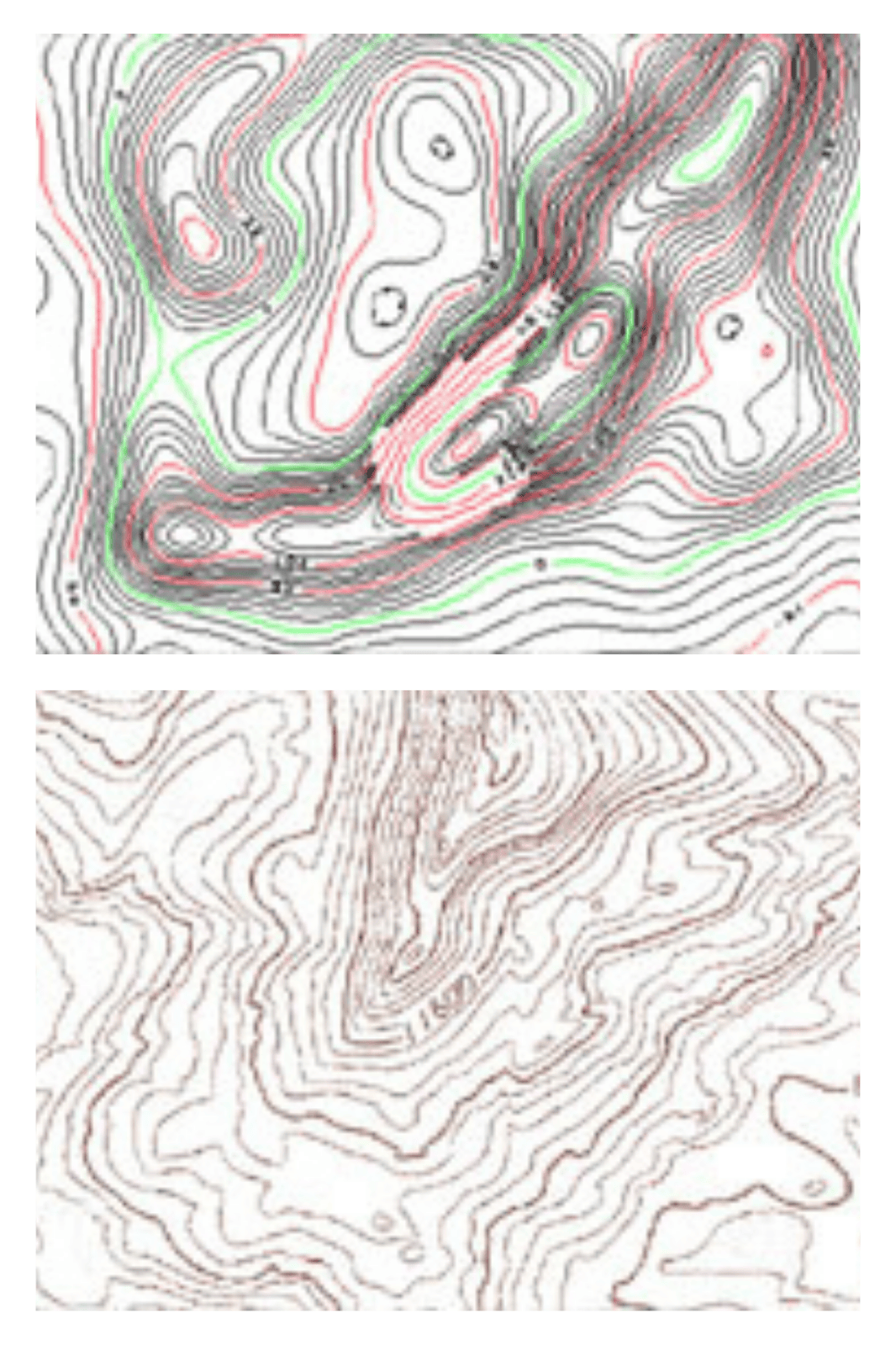
Comprehensive ArcGIS solutions for advanced spatial analysis, data integration, and geospatial decision support across various industries.
Creation of detailed Digital Terrain Models (DTM) and Digital Surface Models (DSM) to support terrain analysis, flood modeling, and infrastructure planning.

Who we are
Your trusted partner in geospatial and LiDAR solutions
We provide advanced geospatial, LiDAR, and remote sensing services with a focus on accuracy, innovation, and client success. Our expert team helps you capture, analyze, and visualize spatial data to support critical decision-making across diverse applications — from urban planning and infrastructure development to environmental monitoring and disaster management.

About us
Trusted by organizations worldwide for geospatial excellence
With a strong record of delivering advanced geospatial and LiDAR solutions to hundreds of clients globally, we help you turn complex spatial data into clear, actionable insights. Our commitment to quality and innovation ensures you receive reliable, accurate, and impactful data to support better decisions and achieve your project goals with confidence.
Excited to welcome you soon!